Manor Way, Lancing
Introduction
The photograph on this page of Manor Way, Lancing by Simon Carey as part of the Geograph project.
The Geograph project started in 2005 with the aim of publishing, organising and preserving representative images for every square kilometre of Great Britain, Ireland and the Isle of Man.

There are currently over 7.5m images from over 14,400 individuals and you can help contribute to the project by visiting https://www.geograph.org.uk
Manor Way, Lancing
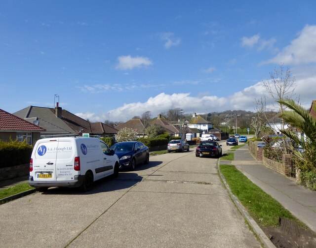
Image: © Simon Carey Taken: 31 Mar 2024
A cul de sac off Old Shoreham Road, the A27, built in the 1950s.
Images are licensed for reuse under creativecommons.org/licenses/by-sa/2.0
Image Location
Latitude
50.836513
Longitude
-0.316096