Path by the former Booth Hall estate
Introduction
The photograph on this page of Path by the former Booth Hall estate by Kevin Waterhouse as part of the Geograph project.
The Geograph project started in 2005 with the aim of publishing, organising and preserving representative images for every square kilometre of Great Britain, Ireland and the Isle of Man.

There are currently over 7.5m images from over 14,400 individuals and you can help contribute to the project by visiting https://www.geograph.org.uk
Path by the former Booth Hall estate
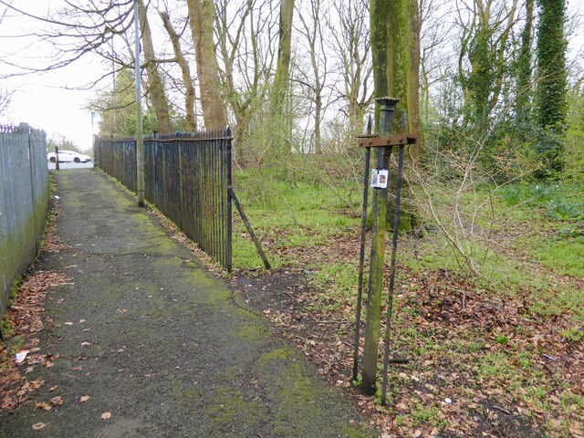
Image: © Kevin Waterhouse Taken: 27 Mar 2024
The path from Bailey's Wood as it nears Grange Park Road has some old cast iron fencing from the Booth Hall estate that became a children's hospital site and is now a housing estate.
Images are licensed for reuse under creativecommons.org/licenses/by-sa/2.0
Image Location
Latitude
53.524038
Longitude
-2.200122