Sign, Honeysuckle Bottom
Introduction
The photograph on this page of Sign, Honeysuckle Bottom by Ian Capper as part of the Geograph project.
The Geograph project started in 2005 with the aim of publishing, organising and preserving representative images for every square kilometre of Great Britain, Ireland and the Isle of Man.

There are currently over 7.5m images from over 14,400 individuals and you can help contribute to the project by visiting https://www.geograph.org.uk
Sign, Honeysuckle Bottom
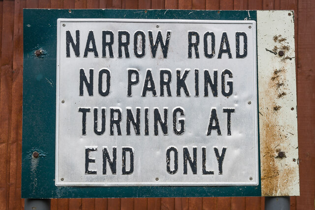
Image: © Ian Capper Taken: 15 Mar 2024
Sign at the start of Honeysuckle Bottom, a single track lane off Green Dene. Note the unusual font and the metal sheet on which the sign is fixed, which looks as if it was a re-used piece of scrap. For a wider view see Image
Images are licensed for reuse under creativecommons.org/licenses/by-sa/2.0
Image Location
Latitude
51.248707
Longitude
-0.43268