Ford near Maesllyn
Introduction
The photograph on this page of Ford near Maesllyn by Marion Phillips as part of the Geograph project.
The Geograph project started in 2005 with the aim of publishing, organising and preserving representative images for every square kilometre of Great Britain, Ireland and the Isle of Man.

There are currently over 7.5m images from over 14,400 individuals and you can help contribute to the project by visiting https://www.geograph.org.uk
Ford near Maesllyn
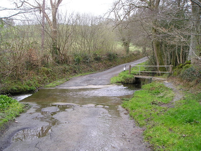
Image: © Marion Phillips Taken: 20 Apr 2008
The water level at this ford is quite low here after several weeks with little rain. It would be difficult for vehicles to negotiate under flood conditions. The footbridge on the right is to enable pedestrians to cross the stream under any weather conditions.
Images are licensed for reuse under creativecommons.org/licenses/by-sa/2.0
Image Location


Leaflet Map data © OpenStreetMap
Latitude
52.070733
Longitude
-4.385586