Waterside level crossing
Introduction
The photograph on this page of Waterside level crossing by Richard Webb as part of the Geograph project.
The Geograph project started in 2005 with the aim of publishing, organising and preserving representative images for every square kilometre of Great Britain, Ireland and the Isle of Man.

There are currently over 7.5m images from over 14,400 individuals and you can help contribute to the project by visiting https://www.geograph.org.uk
Waterside level crossing
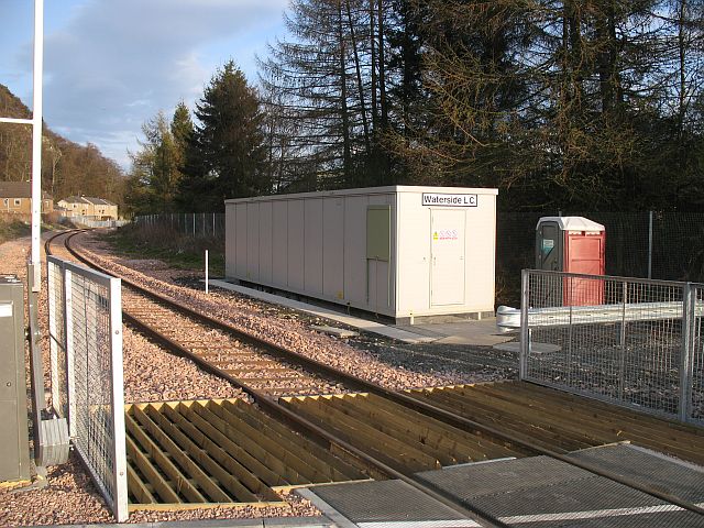
Image: © Richard Webb Taken: 12 Apr 2008
Newly rebuilt as part of the reopening of the line to Alloa and Kincardine. The same old design, with the wooden slats preventing livestock wandering up the line.
Images are licensed for reuse under creativecommons.org/licenses/by-sa/2.0
Image Location
Latitude
56.135564
Longitude
-3.919787