Corner Farm
Introduction
The photograph on this page of Corner Farm by David Rogers as part of the Geograph project.
The Geograph project started in 2005 with the aim of publishing, organising and preserving representative images for every square kilometre of Great Britain, Ireland and the Isle of Man.

There are currently over 7.5m images from over 14,400 individuals and you can help contribute to the project by visiting https://www.geograph.org.uk
Corner Farm
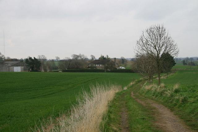
Image: © David Rogers Taken: 21 Apr 2008
The track from the end of Sharow Lane rises to nearly 44m giving expansive views to the South, before descending to Corner Farm on the western edge of Copt Hewick.
Images are licensed for reuse under creativecommons.org/licenses/by-sa/2.0
Image Location


Leaflet Map data © OpenStreetMap
Latitude
54.135633
Longitude
-1.485409