Bottom End of Tofts Grove, Rastrick
Introduction
The photograph on this page of Bottom End of Tofts Grove, Rastrick by Humphrey Bolton as part of the Geograph project.
The Geograph project started in 2005 with the aim of publishing, organising and preserving representative images for every square kilometre of Great Britain, Ireland and the Isle of Man.

There are currently over 7.5m images from over 14,400 individuals and you can help contribute to the project by visiting https://www.geograph.org.uk
Bottom End of Tofts Grove, Rastrick
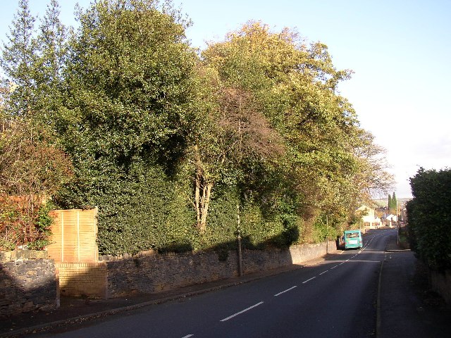
Image: © Humphrey Bolton Taken: 12 Nov 2005
On the left behind the trees are modern houses in the grounds of Holly Bank - they each have their patch of woodland. At the bottom of the hill is the junction with Field Lane, with recently-built houses behind.
Images are licensed for reuse under creativecommons.org/licenses/by-sa/2.0
Image Location
Latitude
53.689775
Longitude
-1.795534