Lane at Moreleigh
Introduction
The photograph on this page of Lane at Moreleigh by Derek Harper as part of the Geograph project.
The Geograph project started in 2005 with the aim of publishing, organising and preserving representative images for every square kilometre of Great Britain, Ireland and the Isle of Man.

There are currently over 7.5m images from over 14,400 individuals and you can help contribute to the project by visiting https://www.geograph.org.uk
Lane at Moreleigh
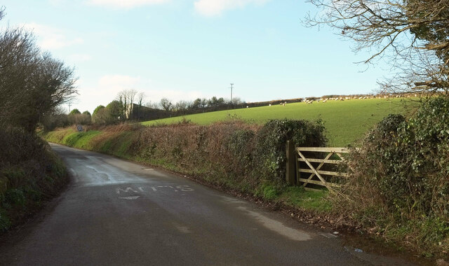
Image: © Derek Harper Taken: 21 Jan 2023
Leaving the main part of the village on its way to Place Barton, where the church is.
Images are licensed for reuse under creativecommons.org/licenses/by-sa/2.0
Image Location
Latitude
50.361557
Longitude
-3.738637