Bulson Head
Introduction
The photograph on this page of Bulson Head by Derek Harper as part of the Geograph project.
The Geograph project started in 2005 with the aim of publishing, organising and preserving representative images for every square kilometre of Great Britain, Ireland and the Isle of Man.

There are currently over 7.5m images from over 14,400 individuals and you can help contribute to the project by visiting https://www.geograph.org.uk
Bulson Head
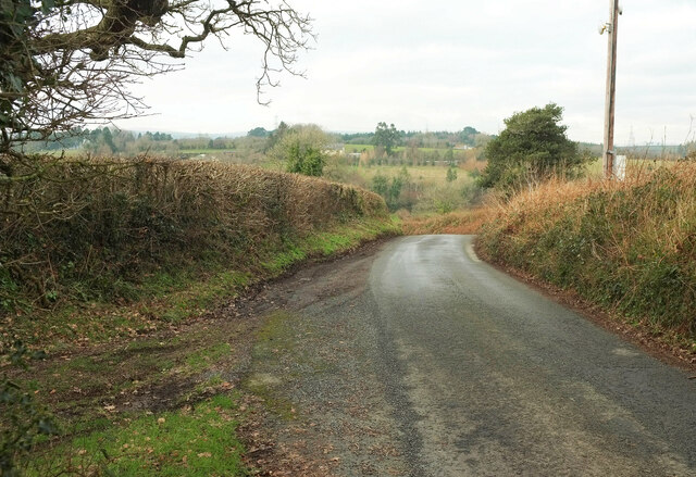
Image: © Derek Harper Taken: 21 Jan 2023
Culver Lane reaches its highest point, meeting Small Lane, a public access green lane, on the left, before dropping to Mill Cross.
Images are licensed for reuse under creativecommons.org/licenses/by-sa/2.0
Image Location
Latitude
50.43554
Longitude
-3.776833