Mitten Road
Introduction
The photograph on this page of Mitten Road by Ian Capper as part of the Geograph project.
The Geograph project started in 2005 with the aim of publishing, organising and preserving representative images for every square kilometre of Great Britain, Ireland and the Isle of Man.

There are currently over 7.5m images from over 14,400 individuals and you can help contribute to the project by visiting https://www.geograph.org.uk
Mitten Road
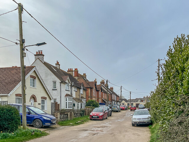
Image: © Ian Capper Taken: 30 Mar 2023
Unmade up road, with the houses here first marked on the 1946 25" map.
Images are licensed for reuse under creativecommons.org/licenses/by-sa/2.0
Image Location
Latitude
50.687604
Longitude
-1.087676