Public footpath direction sign, Llandogo, Monmouthshire
Introduction
The photograph on this page of Public footpath direction sign, Llandogo, Monmouthshire by Jaggery as part of the Geograph project.
The Geograph project started in 2005 with the aim of publishing, organising and preserving representative images for every square kilometre of Great Britain, Ireland and the Isle of Man.

There are currently over 7.5m images from over 14,400 individuals and you can help contribute to the project by visiting https://www.geograph.org.uk
Public footpath direction sign, Llandogo, Monmouthshire
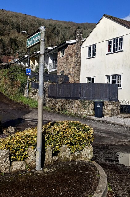
Image: © Jaggery Taken: 3 Mar 2024
The sign at the edge of the Sloop Inn car park points to the NW, away from the A466, the main road through the village.
Images are licensed for reuse under creativecommons.org/licenses/by-sa/2.0
Image Location
Latitude
51.733594
Longitude
-2.68806