
Auchmuirbridge
Introduction
The photograph on this page of Auchmuirbridge by Bill Kasman as part of the Geograph project.
The Geograph project started in 2005 with the aim of publishing, organising and preserving representative images for every square kilometre of Great Britain, Ireland and the Isle of Man.

There are currently over 7.5m images from over 14,400 individuals and you can help contribute to the project by visiting https://www.geograph.org.uk
Auchmuirbridge
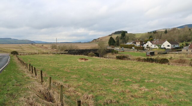
Image: © Bill Kasman Taken: 3 Mar 2024
The road on the north side of the bridge is the A911 Leslie to Scotlandwell road. The road over the bridge to the south side was once a 'B' road but was reclassified sometime ago as the C50, which crosses the bridge and turns sharply right (west) to join the B920 a few kilometres away. Just over the bridge where the C50 turns right is a turning to the left which was also once a 'B' road but is now the C33 heading south to Kinglassie. Confusingly, the local road signs have not been updated and still refer to both of these roads by the original 'B' designation.
Images are licensed for reuse under creativecommons.org/licenses/by-sa/2.0
Image Location

Latitude
56.196163
Longitude
-3.260704