Cycle route sign beside Bridge Close
Introduction
The photograph on this page of Cycle route sign beside Bridge Close by Oscar Taylor as part of the Geograph project.
The Geograph project started in 2005 with the aim of publishing, organising and preserving representative images for every square kilometre of Great Britain, Ireland and the Isle of Man.

There are currently over 7.5m images from over 14,400 individuals and you can help contribute to the project by visiting https://www.geograph.org.uk
Cycle route sign beside Bridge Close
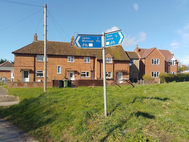
Image: © Oscar Taylor Taken: 3 Mar 2024
Showing the routes for the town centre, Upton and Wantage.
Images are licensed for reuse under creativecommons.org/licenses/by-sa/2.0
Image Location
Latitude
51.602478
Longitude
-1.235281