Bottom end of Field Lane, Rastrick
Introduction
The photograph on this page of Bottom end of Field Lane, Rastrick by Humphrey Bolton as part of the Geograph project.
The Geograph project started in 2005 with the aim of publishing, organising and preserving representative images for every square kilometre of Great Britain, Ireland and the Isle of Man.

There are currently over 7.5m images from over 14,400 individuals and you can help contribute to the project by visiting https://www.geograph.org.uk
Bottom end of Field Lane, Rastrick
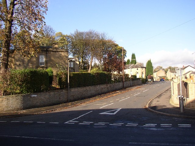
Image: © Humphrey Bolton Taken: 12 Nov 2005
The house on the left is Holly Bank, with its former octagonal dovecote, now extended and converted into a house, towards the right. The dovecote is probably older than the present Holly Bank House, which was built c. 1836 to replace a much older house called Rastrick Hall. The right hand side of the road has been developed for housing recently.
Images are licensed for reuse under creativecommons.org/licenses/by-sa/2.0
Image Location


Leaflet Map data © OpenStreetMap
Latitude
53.690672
Longitude
-1.794016