The redeveloped Wolverhampton Low Level Station
Introduction
The photograph on this page of The redeveloped Wolverhampton Low Level Station by Chris Allen as part of the Geograph project.
The Geograph project started in 2005 with the aim of publishing, organising and preserving representative images for every square kilometre of Great Britain, Ireland and the Isle of Man.

There are currently over 7.5m images from over 14,400 individuals and you can help contribute to the project by visiting https://www.geograph.org.uk
The redeveloped Wolverhampton Low Level Station
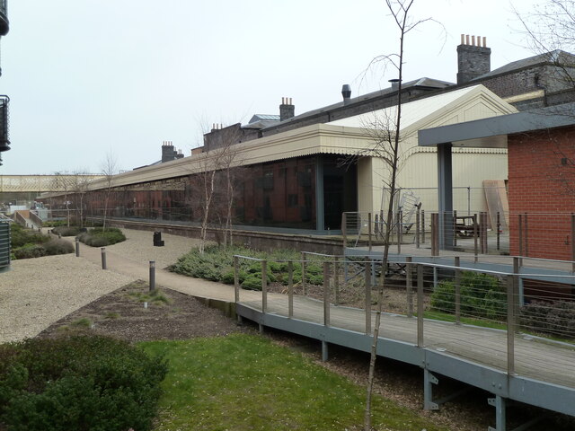
Image: © Chris Allen Taken: 7 Apr 2013
Grade II listed and built in 1854. Following many years of dereliction it has now been redeveloped.
Images are licensed for reuse under creativecommons.org/licenses/by-sa/2.0
Image Location
Latitude
52.588024
Longitude
-2.118777