Gateway for Larcombe Farm
Introduction
The photograph on this page of Gateway for Larcombe Farm by Derek Harper as part of the Geograph project.
The Geograph project started in 2005 with the aim of publishing, organising and preserving representative images for every square kilometre of Great Britain, Ireland and the Isle of Man.

There are currently over 7.5m images from over 14,400 individuals and you can help contribute to the project by visiting https://www.geograph.org.uk
Gateway for Larcombe Farm
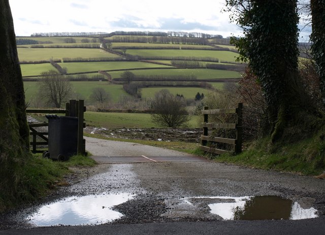
Image: © Derek Harper Taken: 12 Apr 2008
An entrance across a cattle grid from the B3224. The view in the distance is in Image and Image, with Staddonhill Road climbing between green fields.
Images are licensed for reuse under creativecommons.org/licenses/by-sa/2.0
Image Location


Leaflet Map data © OpenStreetMap
Latitude
51.140524
Longitude
-3.609927