A10 Viaduct
Introduction
The photograph on this page of A10 Viaduct by Stephen Dawson as part of the Geograph project.
The Geograph project started in 2005 with the aim of publishing, organising and preserving representative images for every square kilometre of Great Britain, Ireland and the Isle of Man.

There are currently over 7.5m images from over 14,400 individuals and you can help contribute to the project by visiting https://www.geograph.org.uk
A10 Viaduct
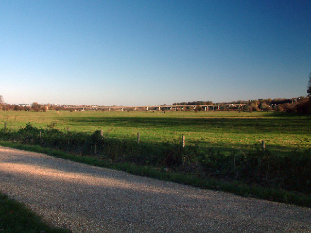
Image: © Stephen Dawson Taken: 13 Nov 2004
The A10 viaduct across King's Meads, part of the floodplain of the River Lee
Images are licensed for reuse under creativecommons.org/licenses/by-sa/2.0
Image Location


Leaflet Map data © OpenStreetMap
Latitude
51.803972
Longitude
-0.050684