Roxburgh from the viaduct
Introduction
The photograph on this page of Roxburgh from the viaduct by Walter Baxter as part of the Geograph project.
The Geograph project started in 2005 with the aim of publishing, organising and preserving representative images for every square kilometre of Great Britain, Ireland and the Isle of Man.

There are currently over 7.5m images from over 14,400 individuals and you can help contribute to the project by visiting https://www.geograph.org.uk
Roxburgh from the viaduct
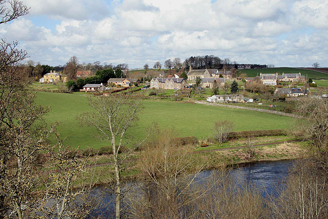
Image: © Walter Baxter Taken: 19 Apr 2008
The village of Roxburgh viewed from the east end of Roxburgh Viaduct with the River Teviot in the foreground. The village is bisected by a grid line.
Images are licensed for reuse under creativecommons.org/licenses/by-sa/2.0
Image Location
Latitude
55.568589
Longitude
-2.477278