Harleyford Road Community Garden
Introduction
The photograph on this page of Harleyford Road Community Garden by Marathon as part of the Geograph project.
The Geograph project started in 2005 with the aim of publishing, organising and preserving representative images for every square kilometre of Great Britain, Ireland and the Isle of Man.

There are currently over 7.5m images from over 14,400 individuals and you can help contribute to the project by visiting https://www.geograph.org.uk
Harleyford Road Community Garden
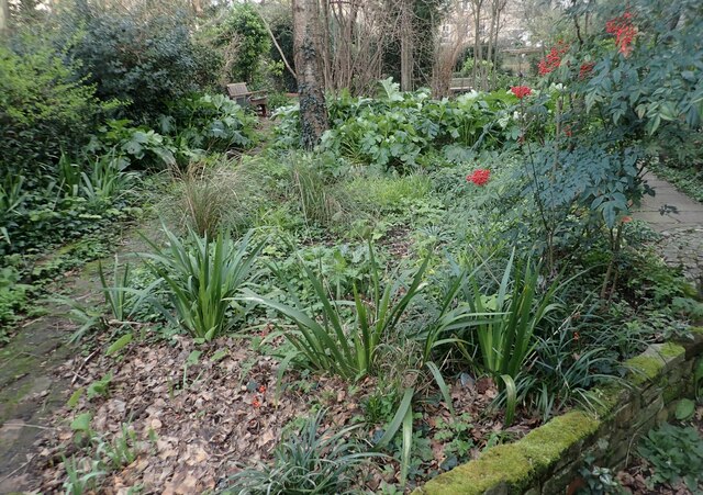
Image: © Marathon Taken: 26 Feb 2024
In earlier times, a Georgian Terrace with long back gardens fronted onto Harleyford Road, but the majority of the houses were demolished in the early 1970s. The chance to site a community garden here was realised in 1984 by the Vauxhall Housing Co-operative, who formed the Harleyford Road Garden Association to carry out a feasibility study with the help of a small grant. Most of the land belonged to the Greater London Council and when this was abolished in 1986, lease negotiations became protracted. The land finally came under the Borough Council's Housing Department, from whom the Garden Association now hold a management lease. Work on the design and layout of the site began in 1986 and Harleyford Road Community Garden was officially opened two years later. It had already started to be used by local people, however, such is the demand for open space in this very built-up part of the Borough.
Images are licensed for reuse under creativecommons.org/licenses/by-sa/2.0
Image Location
Latitude
51.484508
Longitude
-0.11907