Main Street, Oxhill
Introduction
The photograph on this page of Main Street, Oxhill by Derek Harper as part of the Geograph project.
The Geograph project started in 2005 with the aim of publishing, organising and preserving representative images for every square kilometre of Great Britain, Ireland and the Isle of Man.

There are currently over 7.5m images from over 14,400 individuals and you can help contribute to the project by visiting https://www.geograph.org.uk
Main Street, Oxhill
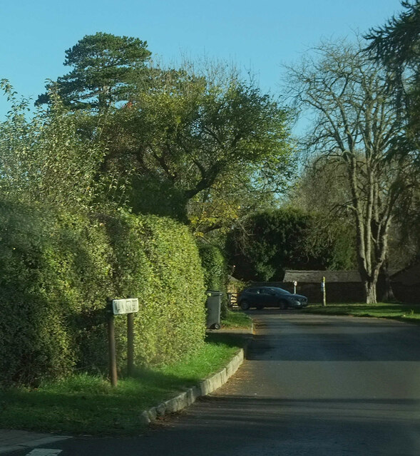
Image: © Derek Harper Taken: 4 Nov 2022
From the junction with Green Lane. But the junction with what? Streetview goes for Church Lane, which seems reasonable given the proximity of the church. But the street name sign begs to differ,
Images are licensed for reuse under creativecommons.org/licenses/by-sa/2.0
Image Location
Latitude
52.107199
Longitude
-1.539146