Un-named byway from Burn Road to Reap Hirst Road, Fixby
Introduction
The photograph on this page of Un-named byway from Burn Road to Reap Hirst Road, Fixby by Humphrey Bolton as part of the Geograph project.
The Geograph project started in 2005 with the aim of publishing, organising and preserving representative images for every square kilometre of Great Britain, Ireland and the Isle of Man.

There are currently over 7.5m images from over 14,400 individuals and you can help contribute to the project by visiting https://www.geograph.org.uk
Un-named byway from Burn Road to Reap Hirst Road, Fixby
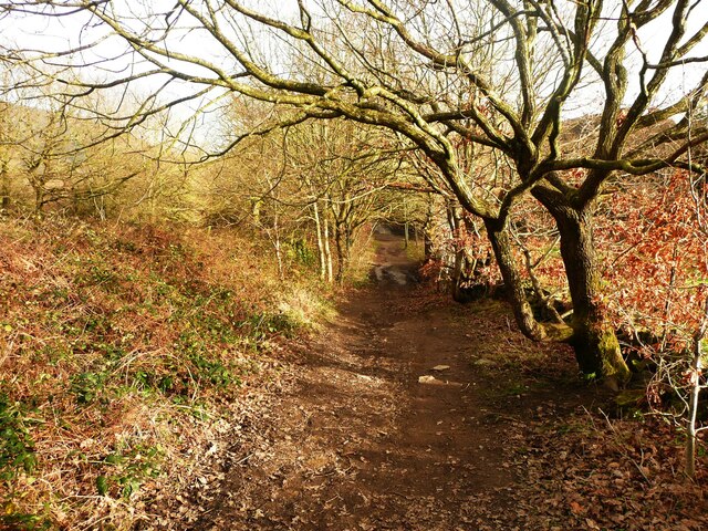
Image: © Humphrey Bolton Taken: 26 Feb 2024
This is part of the Kirklees Way.
Images are licensed for reuse under creativecommons.org/licenses/by-sa/2.0
Image Location
Latitude
53.665535
Longitude
-1.812299