Caroline Street, Briton Ferry
Introduction
The photograph on this page of Caroline Street, Briton Ferry by Jaggery as part of the Geograph project.
The Geograph project started in 2005 with the aim of publishing, organising and preserving representative images for every square kilometre of Great Britain, Ireland and the Isle of Man.

There are currently over 7.5m images from over 14,400 individuals and you can help contribute to the project by visiting https://www.geograph.org.uk
Caroline Street, Briton Ferry
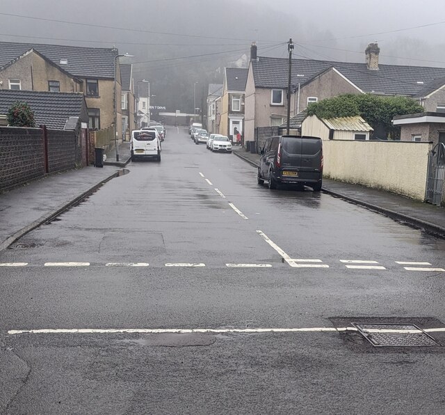
Image: © Jaggery Taken: 14 Feb 2024
Looking from Rockingham Terrace along Caroline Street towards Neath Road on a murky, drizzly day in February 2024 when a tropical maritime airmass covers southern Britain. On a clear day, a wooded hillside view would be in the background.
Images are licensed for reuse under creativecommons.org/licenses/by-sa/2.0
Image Location
Latitude
51.634225
Longitude
-3.818094