Stream adjacent to Shelley Lane
Introduction
The photograph on this page of Stream adjacent to Shelley Lane by David Martin as part of the Geograph project.
The Geograph project started in 2005 with the aim of publishing, organising and preserving representative images for every square kilometre of Great Britain, Ireland and the Isle of Man.

There are currently over 7.5m images from over 14,400 individuals and you can help contribute to the project by visiting https://www.geograph.org.uk
Stream adjacent to Shelley Lane
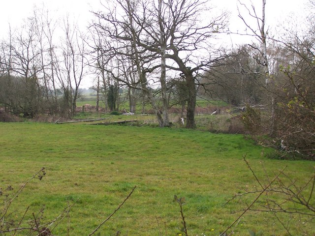
Image: © David Martin Taken: 20 Apr 2008
The 1:50,000 map only shows this stream to the east of the lane, but it is fed by a network of small streams and ponds in the fields to the west
Images are licensed for reuse under creativecommons.org/licenses/by-sa/2.0
Image Location
Latitude
50.962789
Longitude
-1.545569