New trees, fields, Marlingford
Introduction
The photograph on this page of New trees, fields, Marlingford by Katy Walters as part of the Geograph project.
The Geograph project started in 2005 with the aim of publishing, organising and preserving representative images for every square kilometre of Great Britain, Ireland and the Isle of Man.

There are currently over 7.5m images from over 14,400 individuals and you can help contribute to the project by visiting https://www.geograph.org.uk
New trees, fields, Marlingford
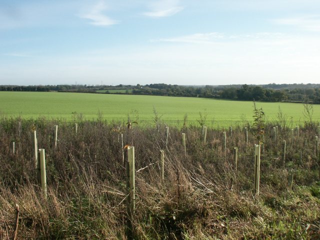
Image: © Katy Walters Taken: 12 Nov 2005
Looking across the new plantation towards Norwich - it's possible to make out City Hall clock tower, County Hall, and another unidentified tower (at least on the high-res version of the image).
Images are licensed for reuse under creativecommons.org/licenses/by-sa/2.0
Image Location


Leaflet Map data © OpenStreetMap
Latitude
52.638911
Longitude
1.139175