Chrishall Church
Introduction
The photograph on this page of Chrishall Church by Duncan Grey as part of the Geograph project.
The Geograph project started in 2005 with the aim of publishing, organising and preserving representative images for every square kilometre of Great Britain, Ireland and the Isle of Man.

There are currently over 7.5m images from over 14,400 individuals and you can help contribute to the project by visiting https://www.geograph.org.uk
Chrishall Church
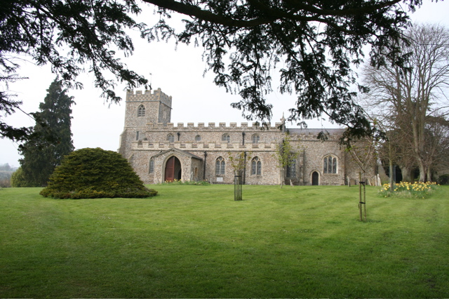
Image: © Duncan Grey Taken: 20 Apr 2008
A brass of Sir John and Lady De La Pole, dated 1375, and a Norman font are worth seeing in the church.
Images are licensed for reuse under creativecommons.org/licenses/by-sa/2.0
Image Location
Latitude
52.027002
Longitude
0.114538