Valley bottom woodland
Introduction
The photograph on this page of Valley bottom woodland by Tony Atkin as part of the Geograph project.
The Geograph project started in 2005 with the aim of publishing, organising and preserving representative images for every square kilometre of Great Britain, Ireland and the Isle of Man.

There are currently over 7.5m images from over 14,400 individuals and you can help contribute to the project by visiting https://www.geograph.org.uk
Valley bottom woodland
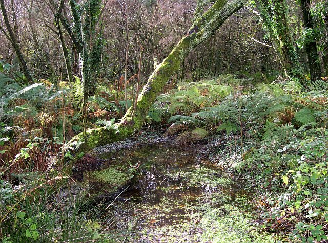
Image: © Tony Atkin Taken: 12 Nov 2005
Near Starrick Moor. Much of the valley bottom land here is very poorly drained so it has been left largely to its own devices.
Images are licensed for reuse under creativecommons.org/licenses/by-sa/2.0
Image Location


Leaflet Map data © OpenStreetMap
Latitude
50.37217
Longitude
-4.753454