The Yoker Burn
Introduction
The photograph on this page of The Yoker Burn by Richard Sutcliffe as part of the Geograph project.
The Geograph project started in 2005 with the aim of publishing, organising and preserving representative images for every square kilometre of Great Britain, Ireland and the Isle of Man.

There are currently over 7.5m images from over 14,400 individuals and you can help contribute to the project by visiting https://www.geograph.org.uk
The Yoker Burn
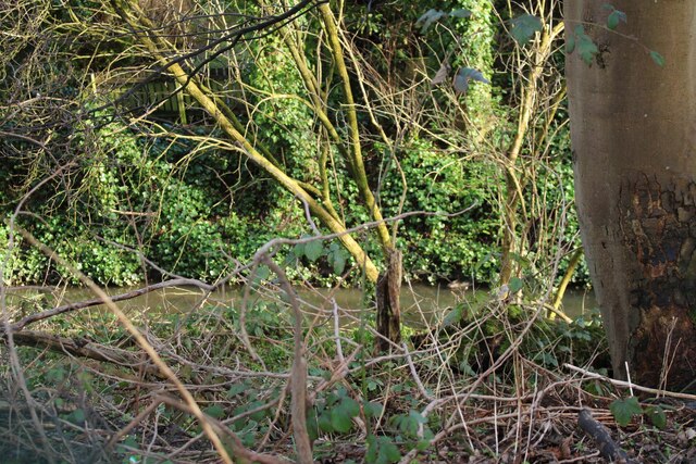
Image: © Richard Sutcliffe Taken: 20 Feb 2024
The burn flows from Bearsden to join the River Clyde at Clydebank. Much of the burn is culvetted, but this section between Duntreath Avenue and houses on Golf Drive is visible (just) through the strip of woodland which surrounds it.
Images are licensed for reuse under creativecommons.org/licenses/by-sa/2.0
Image Location
Latitude
55.901927
Longitude
-4.372622