Old Boundary Marker near Tregullow
Introduction
The photograph on this page of Old Boundary Marker near Tregullow by P Barnett as part of the Geograph project.
The Geograph project started in 2005 with the aim of publishing, organising and preserving representative images for every square kilometre of Great Britain, Ireland and the Isle of Man.

There are currently over 7.5m images from over 14,400 individuals and you can help contribute to the project by visiting https://www.geograph.org.uk
Old Boundary Marker near Tregullow
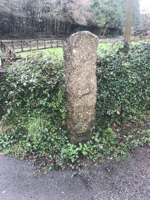
Image: © P Barnett Taken: 9 Feb 2024
Mine Boundary Marker beside the drive to Tregullow. St Day parish. This stone defined the mineral rights of local landowners. Milestone Society National ID: CW_STDCHA18em
Images are licensed for reuse under creativecommons.org/licenses/by-sa/2.0
Image Location


Leaflet Map data © OpenStreetMap
Latitude
50.250238
Longitude
-5.188397