Leg of Mutton Road
Introduction
The photograph on this page of Leg of Mutton Road by Neil Owen as part of the Geograph project.
The Geograph project started in 2005 with the aim of publishing, organising and preserving representative images for every square kilometre of Great Britain, Ireland and the Isle of Man.

There are currently over 7.5m images from over 14,400 individuals and you can help contribute to the project by visiting https://www.geograph.org.uk
Leg of Mutton Road
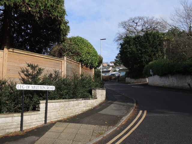
Image: © Neil Owen Taken: 1 Feb 2024
An intriguingly named road in the more recent development of Glastonbury's suburbs. Perhaps it refers to the shape of the long road as it wraps itself around Edmund Hill.
Images are licensed for reuse under creativecommons.org/licenses/by-sa/2.0
Image Location
Latitude
51.150153
Longitude
-2.712943