Shops on Netherhall Road, Leicester
Introduction
The photograph on this page of Shops on Netherhall Road, Leicester by Mat Fascione as part of the Geograph project.
The Geograph project started in 2005 with the aim of publishing, organising and preserving representative images for every square kilometre of Great Britain, Ireland and the Isle of Man.

There are currently over 7.5m images from over 14,400 individuals and you can help contribute to the project by visiting https://www.geograph.org.uk
Shops on Netherhall Road, Leicester
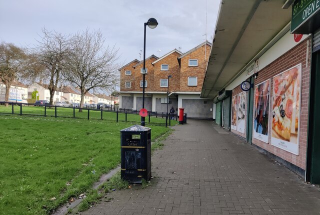
Image: © Mat Fascione Taken: 15 Feb 2024
Netherhall is a residential suburb, about three miles east of Leicester city centre.
Images are licensed for reuse under creativecommons.org/licenses/by-sa/2.0
Image Location
Latitude
52.64811
Longitude
-1.061976