Church Street, Uplyme
Introduction
The photograph on this page of Church Street, Uplyme by Tim Heaton as part of the Geograph project.
The Geograph project started in 2005 with the aim of publishing, organising and preserving representative images for every square kilometre of Great Britain, Ireland and the Isle of Man.

There are currently over 7.5m images from over 14,400 individuals and you can help contribute to the project by visiting https://www.geograph.org.uk
Church Street, Uplyme
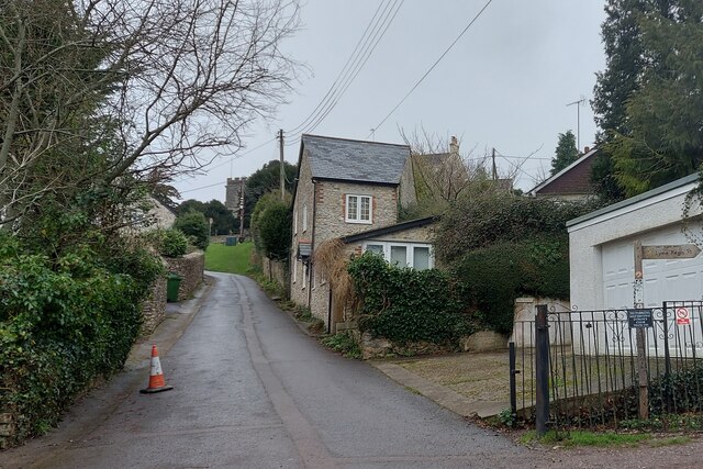
Image: © Tim Heaton Taken: 7 Feb 2024
The East Devon Way (fingerpost right) follows the River Lim Path to Lyme Regis
Images are licensed for reuse under creativecommons.org/licenses/by-sa/2.0
Image Location
Latitude
50.736456
Longitude
-2.957467