Rutland Street
Introduction
The photograph on this page of Rutland Street by Mr Ignavy as part of the Geograph project.
The Geograph project started in 2005 with the aim of publishing, organising and preserving representative images for every square kilometre of Great Britain, Ireland and the Isle of Man.

There are currently over 7.5m images from over 14,400 individuals and you can help contribute to the project by visiting https://www.geograph.org.uk
Rutland Street
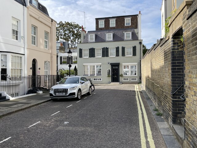
Image: © Mr Ignavy Taken: 30 Sep 2023
The steps just visible to the right are known as "The Hole in the Wall". They go up to Rutland Mews East.
Images are licensed for reuse under creativecommons.org/licenses/by-sa/2.0
Image Location
Latitude
51.498954
Longitude
-0.168181