North west end of Park Street, Wombwell
Introduction
The photograph on this page of North west end of Park Street, Wombwell by Richard Vince as part of the Geograph project.
The Geograph project started in 2005 with the aim of publishing, organising and preserving representative images for every square kilometre of Great Britain, Ireland and the Isle of Man.

There are currently over 7.5m images from over 14,400 individuals and you can help contribute to the project by visiting https://www.geograph.org.uk
North west end of Park Street, Wombwell
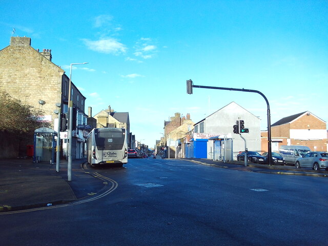
Image: © Richard Vince Taken: 6 Jan 2024
Looking towards where it becomes High Street from the junction with Mayflower Way. An Alexander Dennis Enviro 200MMC of Globe Coaches is leaving the bus stop on its way to Barnsley.
Images are licensed for reuse under creativecommons.org/licenses/by-sa/2.0
Image Location
Latitude
53.521156
Longitude
-1.396352