Field above Bawburgh
Introduction
The photograph on this page of Field above Bawburgh by Katy Walters as part of the Geograph project.
The Geograph project started in 2005 with the aim of publishing, organising and preserving representative images for every square kilometre of Great Britain, Ireland and the Isle of Man.

There are currently over 7.5m images from over 14,400 individuals and you can help contribute to the project by visiting https://www.geograph.org.uk
Field above Bawburgh
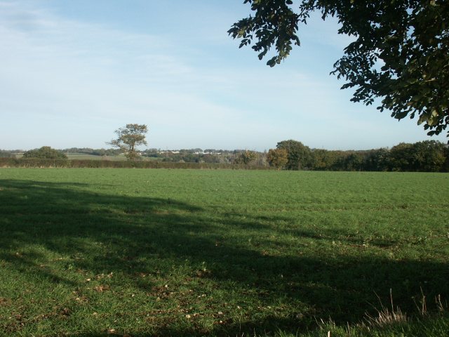
Image: © Katy Walters Taken: 12 Nov 2005
Looking north. In the distance are the livestock buildings on the Royal Norfolk Showground.
Images are licensed for reuse under creativecommons.org/licenses/by-sa/2.0
Image Location


Leaflet Map data © OpenStreetMap
Latitude
52.630318
Longitude
1.174771