#67 Devonshire Street West
Introduction
The photograph on this page of #67 Devonshire Street West by Roger Templeman as part of the Geograph project.
The Geograph project started in 2005 with the aim of publishing, organising and preserving representative images for every square kilometre of Great Britain, Ireland and the Isle of Man.

There are currently over 7.5m images from over 14,400 individuals and you can help contribute to the project by visiting https://www.geograph.org.uk
#67 Devonshire Street West
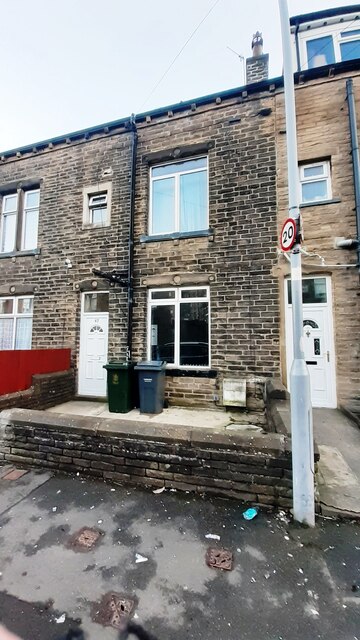
Image: © Roger Templeman Taken: 30 Jan 2024
Ordnance Survey documents indicate that a benchmark levelled at 145.225m above Newlyn Datum was verified in 1962 on the front of the house, near where the white utilities cabinet is now mounted.
Images are licensed for reuse under creativecommons.org/licenses/by-sa/2.0
Image Location
Latitude
53.866805
Longitude
-1.917999