Public Convenience in Stacksteads
Introduction
The photograph on this page of Public Convenience in Stacksteads by Chris Heaton as part of the Geograph project.
The Geograph project started in 2005 with the aim of publishing, organising and preserving representative images for every square kilometre of Great Britain, Ireland and the Isle of Man.

There are currently over 7.5m images from over 14,400 individuals and you can help contribute to the project by visiting https://www.geograph.org.uk
Public Convenience in Stacksteads
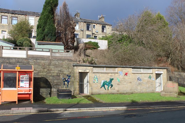
Image: © Chris Heaton Taken: 12 Feb 2024
Those in urgent need of these facilities are destined to experience disappointment - they are locked
Images are licensed for reuse under creativecommons.org/licenses/by-sa/2.0
Image Location
Latitude
53.691898
Longitude
-2.223482