Gabled buildings, Bawburgh
Introduction
The photograph on this page of Gabled buildings, Bawburgh by Katy Walters as part of the Geograph project.
The Geograph project started in 2005 with the aim of publishing, organising and preserving representative images for every square kilometre of Great Britain, Ireland and the Isle of Man.

There are currently over 7.5m images from over 14,400 individuals and you can help contribute to the project by visiting https://www.geograph.org.uk
Gabled buildings, Bawburgh
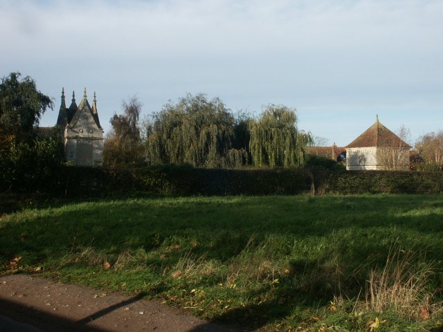
Image: © Katy Walters Taken: 12 Nov 2005
On the edge of the village; no entry on the map to suggest what these lovely buildings might be, but the Plunkett's site notes a Slipper Chapel and Hermit's House along with the now-demolished Hall - http://www.georgeplunkett.co.uk/Norfolk/bac.htm#Bawbu
Images are licensed for reuse under creativecommons.org/licenses/by-sa/2.0
Image Location


Leaflet Map data © OpenStreetMap
Latitude
52.63402
Longitude
1.187604