Horse Trough, Upper Batley Low Lane, Upper Batley
Introduction
The photograph on this page of Horse Trough, Upper Batley Low Lane, Upper Batley by Gary Hughes as part of the Geograph project.
The Geograph project started in 2005 with the aim of publishing, organising and preserving representative images for every square kilometre of Great Britain, Ireland and the Isle of Man.

There are currently over 7.5m images from over 14,400 individuals and you can help contribute to the project by visiting https://www.geograph.org.uk
Horse Trough, Upper Batley Low Lane, Upper Batley
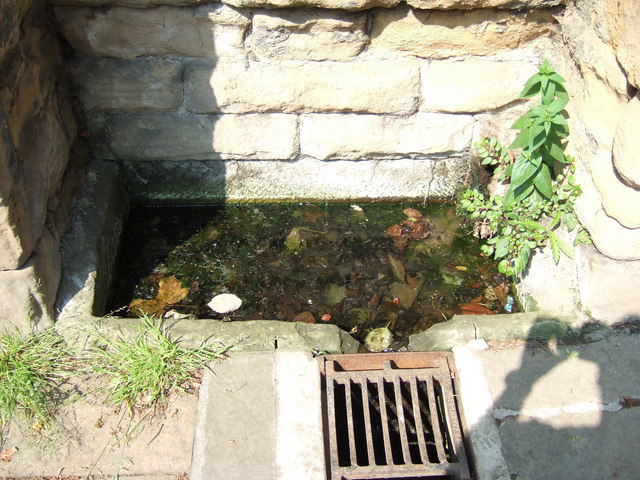
Image: © Gary Hughes Taken: 3 Jun 2007
This horse trough is in the wall of Marshfield, a large house in the area.
Images are licensed for reuse under creativecommons.org/licenses/by-sa/2.0
Image Location
Latitude
53.723459
Longitude
-1.635031