Llwybr wedi ei esgeuluso / A neglected path
Introduction
The photograph on this page of Llwybr wedi ei esgeuluso / A neglected path by Alan Richards as part of the Geograph project.
The Geograph project started in 2005 with the aim of publishing, organising and preserving representative images for every square kilometre of Great Britain, Ireland and the Isle of Man.

There are currently over 7.5m images from over 14,400 individuals and you can help contribute to the project by visiting https://www.geograph.org.uk
Llwybr wedi ei esgeuluso / A neglected path
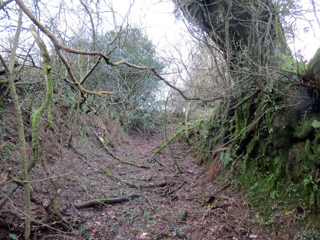
Image: © Alan Richards Taken: 5 Feb 2024
Llwybr wedi ei esgeuluso yn arwain at gae. Yn anffodus, ar adeg ysgrifennu hwn mae'r llwybr wedi ei rwystro mewn salw man. A neglected public footpath approaching a field. Unfortunately, at the time of writing the path is obstructed in several places.
Images are licensed for reuse under creativecommons.org/licenses/by-sa/2.0
Image Location
Latitude
51.902879
Longitude
-4.61641