Grass field, Grove End
Introduction
The photograph on this page of Grass field, Grove End by Derek Harper as part of the Geograph project.
The Geograph project started in 2005 with the aim of publishing, organising and preserving representative images for every square kilometre of Great Britain, Ireland and the Isle of Man.

There are currently over 7.5m images from over 14,400 individuals and you can help contribute to the project by visiting https://www.geograph.org.uk
Grass field, Grove End
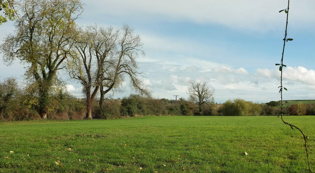
Image: © Derek Harper Taken: 1 Nov 2022
A view from Henbrook Lane. The tower of St. George's Church at Lower Brailes can be glimpsed between the trees; clearer views at https://www.geograph.org.uk/gridref/SP3139?centi=SP315393 .
Images are licensed for reuse under creativecommons.org/licenses/by-sa/2.0
Image Location
Latitude
52.05035
Longitude
-1.555188