Former West Hunslet Liberal Club, Lady Pit Lane
Introduction
The photograph on this page of Former West Hunslet Liberal Club, Lady Pit Lane by Stephen Craven as part of the Geograph project.
The Geograph project started in 2005 with the aim of publishing, organising and preserving representative images for every square kilometre of Great Britain, Ireland and the Isle of Man.

There are currently over 7.5m images from over 14,400 individuals and you can help contribute to the project by visiting https://www.geograph.org.uk
Former West Hunslet Liberal Club, Lady Pit Lane
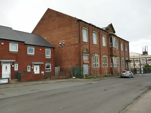
Image: © Stephen Craven Taken: 27 Jan 2024
The building was erected in 1926. It now appears disused and the fencing around it has been there since 2016 or earlier, see Image
Images are licensed for reuse under creativecommons.org/licenses/by-sa/2.0
Image Location
Latitude
53.777451
Longitude
-1.548069