The end of Bismarck Street
Introduction
The photograph on this page of The end of Bismarck Street by Stephen Craven as part of the Geograph project.
The Geograph project started in 2005 with the aim of publishing, organising and preserving representative images for every square kilometre of Great Britain, Ireland and the Isle of Man.

There are currently over 7.5m images from over 14,400 individuals and you can help contribute to the project by visiting https://www.geograph.org.uk
The end of Bismarck Street
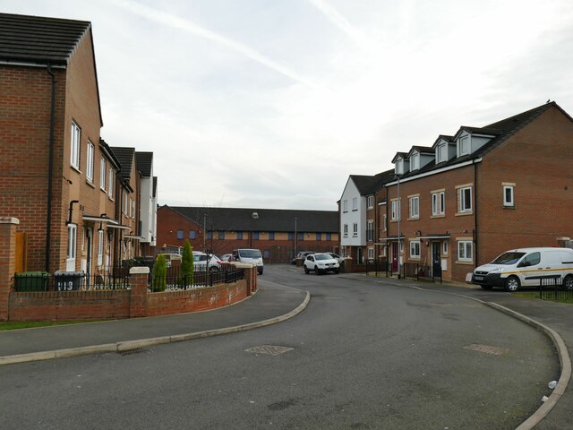
Image: © Stephen Craven Taken: 27 Jan 2024
A modern extension to a street named on the 1905 map and probably named after the late 19th century Chancellor of Germany, at a time when the UK and Germany were allies before the First World War.
Images are licensed for reuse under creativecommons.org/licenses/by-sa/2.0
Image Location


Leaflet Map data © OpenStreetMap
Latitude
53.779063
Longitude
-1.546382