Green Way near Bray Wick
Introduction
The photograph on this page of Green Way near Bray Wick by Bill Boaden as part of the Geograph project.
The Geograph project started in 2005 with the aim of publishing, organising and preserving representative images for every square kilometre of Great Britain, Ireland and the Isle of Man.

There are currently over 7.5m images from over 14,400 individuals and you can help contribute to the project by visiting https://www.geograph.org.uk
Green Way near Bray Wick
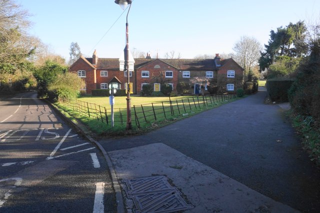
Image: © Bill Boaden Taken: 26 Jan 2024
Green Way is a path from Bray to Cookham which provides an alternative to the Thames Path. It goes through the middle of Maidenhead.
Images are licensed for reuse under creativecommons.org/licenses/by-sa/2.0
Image Location
Latitude
51.50725
Longitude
-0.710516