After the fire
Introduction
The photograph on this page of After the fire by Gerald England as part of the Geograph project.
The Geograph project started in 2005 with the aim of publishing, organising and preserving representative images for every square kilometre of Great Britain, Ireland and the Isle of Man.

There are currently over 7.5m images from over 14,400 individuals and you can help contribute to the project by visiting https://www.geograph.org.uk
After the fire
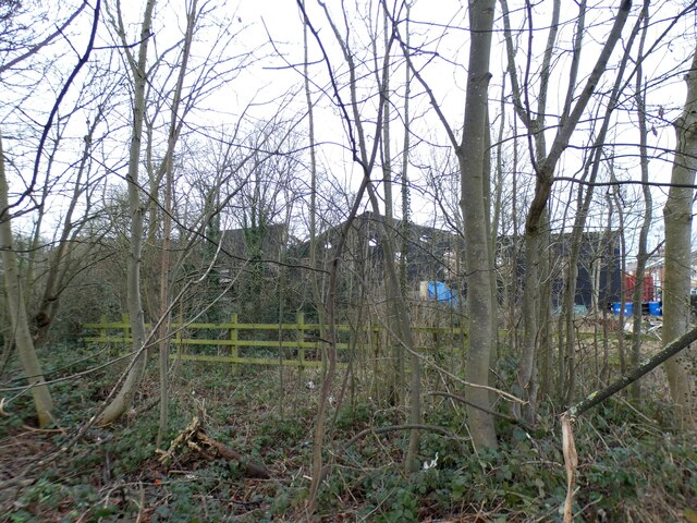
Image: © Gerald England Taken: 25 Jan 2024
Looking from Osborne Road across the cutting (which contained the former Godley Junction to Apethorn railway) to the remains of the former Redfern Rubber Works, latterly Amalgamated Signs Ltd Image and more recently Visual Architects ( https://visual-architects.com/ ) . A huge fire on Monday 22nd January 2024 destroyed the whole building. Behind the remaining façade the rest of the building is being demolished.
Images are licensed for reuse under creativecommons.org/licenses/by-sa/2.0
Image Location
Latitude
53.445536
Longitude
-2.070724