Footpath between paddocks, beside the A359
Introduction
The photograph on this page of Footpath between paddocks, beside the A359 by David Martin as part of the Geograph project.
The Geograph project started in 2005 with the aim of publishing, organising and preserving representative images for every square kilometre of Great Britain, Ireland and the Isle of Man.

There are currently over 7.5m images from over 14,400 individuals and you can help contribute to the project by visiting https://www.geograph.org.uk
Footpath between paddocks, beside the A359
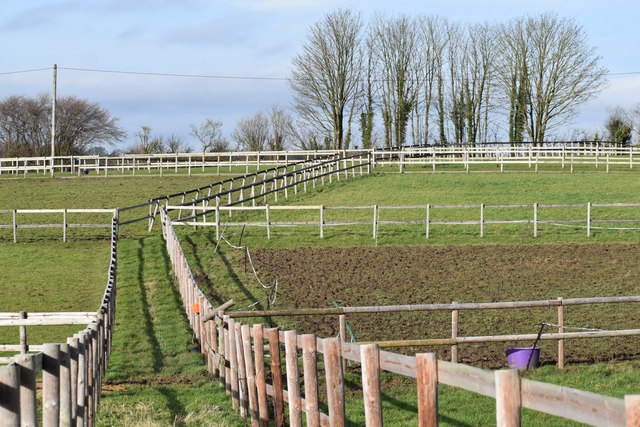
Image: © David Martin Taken: 28 Jan 2024
The fenced route across these fields is slightly to the east of the right of way shown on the OS map.
Images are licensed for reuse under creativecommons.org/licenses/by-sa/2.0
Image Location


Leaflet Map data © OpenStreetMap
Latitude
51.191772
Longitude
-2.392756