Baxter Park Terrace
Introduction
The photograph on this page of Baxter Park Terrace by stephen samson as part of the Geograph project.
The Geograph project started in 2005 with the aim of publishing, organising and preserving representative images for every square kilometre of Great Britain, Ireland and the Isle of Man.

There are currently over 7.5m images from over 14,400 individuals and you can help contribute to the project by visiting https://www.geograph.org.uk
Baxter Park Terrace
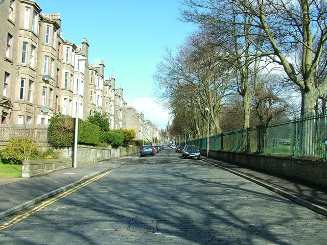
Image: © stephen samson Taken: 19 Apr 2008
Baxter Park Terrace the tenement blocks built from 1885
Images are licensed for reuse under creativecommons.org/licenses/by-sa/2.0
Image Location
Latitude
56.471961
Longitude
-2.953127