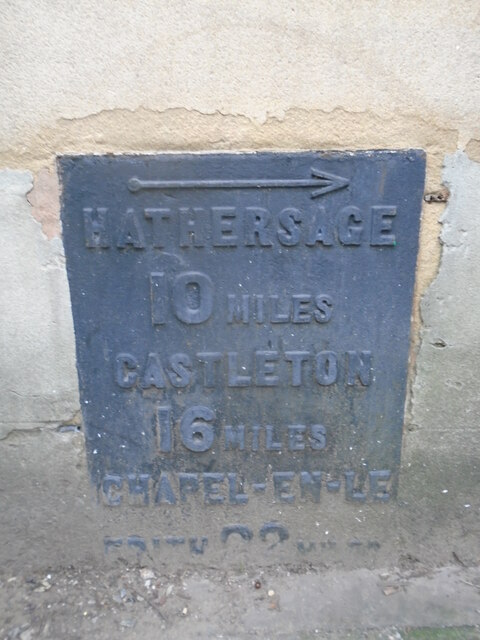
Old mileplate
Introduction
The photograph on this page of Old mileplate by Chris Minto as part of the Geograph project.
The Geograph project started in 2005 with the aim of publishing, organising and preserving representative images for every square kilometre of Great Britain, Ireland and the Isle of Man.
There are currently over 7.5m images from over 14,400 individuals and you can help contribute to the project by visiting https://www.geograph.org.uk

Image: © Chris Minto Taken: 27 Jan 2024
In the base of the restaurant, a former bank, at the junction of London Road, B6388, with St Mary's Gate, A61. Easiest access is to walk through the underpass. In 2024 it was found hidden behind large rubbish bins with dirt almost obscuring CHAPEL-EN-LE/FRITH/22 MILES at base of plate. This section of the Sheffield to Chapel-en-le-Frith turnpike, first enacted in 1758, was built in 1811. The building is Grade II listed, 1247585. Presumably this includes the mileplate.
Image Location


