Slipway and breakwater from Egremont Promenade
Introduction
The photograph on this page of Slipway and breakwater from Egremont Promenade by Sue Adair as part of the Geograph project.
The Geograph project started in 2005 with the aim of publishing, organising and preserving representative images for every square kilometre of Great Britain, Ireland and the Isle of Man.

There are currently over 7.5m images from over 14,400 individuals and you can help contribute to the project by visiting https://www.geograph.org.uk
Slipway and breakwater from Egremont Promenade
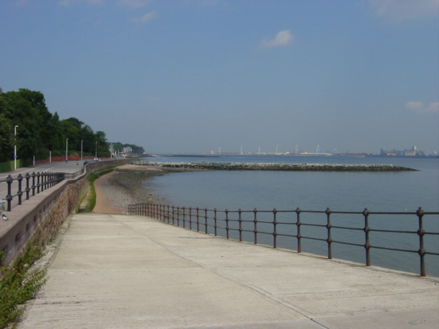
Image: © Sue Adair Taken: 17 Aug 2005
View across the Mersey from Egremont Promenade looking north towards Bootle and the wind turbines of Seaforth docks on the opposite bank.
Images are licensed for reuse under creativecommons.org/licenses/by-sa/2.0
Image Location


Leaflet Map data © OpenStreetMap
Latitude
53.423965
Longitude
-3.02777