Stockport Road A560
Introduction
The photograph on this page of Stockport Road A560 by Stephen Burton as part of the Geograph project.
The Geograph project started in 2005 with the aim of publishing, organising and preserving representative images for every square kilometre of Great Britain, Ireland and the Isle of Man.

There are currently over 7.5m images from over 14,400 individuals and you can help contribute to the project by visiting https://www.geograph.org.uk
Stockport Road A560
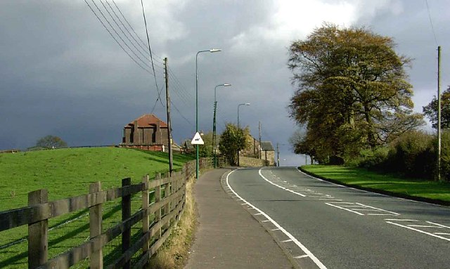
Image: © Stephen Burton Taken: 12 Nov 2005
Looking in the direction of Mottram. The building you can see at the road edge is Greenside Farm
Images are licensed for reuse under creativecommons.org/licenses/by-sa/2.0
Image Location


Leaflet Map data © OpenStreetMap
Latitude
53.440066
Longitude
-2.045123