Wheeler End Common
Introduction
The photograph on this page of Wheeler End Common by Andrew Smith as part of the Geograph project.
The Geograph project started in 2005 with the aim of publishing, organising and preserving representative images for every square kilometre of Great Britain, Ireland and the Isle of Man.

There are currently over 7.5m images from over 14,400 individuals and you can help contribute to the project by visiting https://www.geograph.org.uk
Wheeler End Common
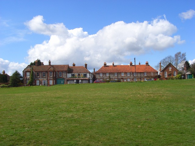
Image: © Andrew Smith Taken: 12 Apr 2008
Buildings on the western side of the common including a converted chapel and the Brickmaker's Arm, one of two pubs on either side of the common.
Images are licensed for reuse under creativecommons.org/licenses/by-sa/2.0
Image Location
Latitude
51.630107
Longitude
-0.842703